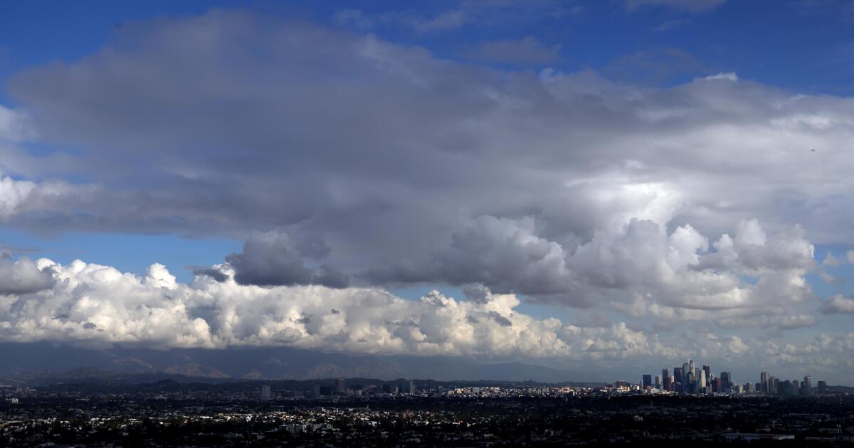
Southern California is bracing for potentially intense rain through Friday as the region’s latest storm system moves in, prompting flood watches and warnings of severe weather before a dry Thanksgiving week.
The National Weather Service issued a flood watch for much of Los Angeles County from Thursday night through Friday morning, cautioning that periods of heavy rain could lead to flooding. A flash flood watch will also be in effect for eastern Riverside and Imperial counties from Friday morning into the evening.
Forecasters warn of a “severe weather threat” for Los Angeles County, as the storm is expected to rotate counterclockwise over the area Thursday night and Friday morning. This pattern brings a 10-20% chance of rainfall rates reaching one inch per hour, which can trigger flooding and landslides. The system also carries a risk of thunderstorms with wind gusts up to 50 mph and a remote possibility of a small tornado.
The storm’s path is being guided by a “cut-off low,” an atmospheric system detached from the main jet stream, which makes its behavior harder to predict. Meteorologists note this will cause an unusual distribution of rain, with higher totals expected in the south. The system could also generate gusty easterly winds on Friday, potentially causing delays at Los Angeles International Airport.
This recent precipitation has shattered early-season expectations for a dry year. Santa Barbara Airport has already recorded its wettest November on record, with 8.42 inches of rain, far surpassing the previous record of 6.92 inches set in 1965.
Downtown Los Angeles has received 3.48 inches of rain this month, its wettest November in over 40 years. Since the water year began on October 1, the area has seen 4.89 inches of precipitation—five times the seasonal average and a stark contrast to last year’s record-dry start. Similar trends are seen across the region, with rainfall totals at John Wayne Airport and San Diego International Airport at four and three times their respective averages.
Experts say this significant rainfall is effectively curbing the region’s high fire season. “This is definitely taking a big bite out of what could be this fire season,” said Dave Munyan, a meteorologist with the National Weather Service. Continued rainfall through December could potentially negate major fire threats for the remainder of the year.
Through Saturday, rainfall totals are expected to range from one to two inches in areas like Anaheim, Irvine, and Joshua Tree National Park, with most other urban areas receiving between half an inch and an inch. While showers may linger into Saturday morning, the weekend is forecast to be dry and cool, leading into a clear and warmer Thanksgiving week with highs in the mid-60s to low 70s. No snow is expected on the Grapevine section of the I-5 Freeway.
Source link


