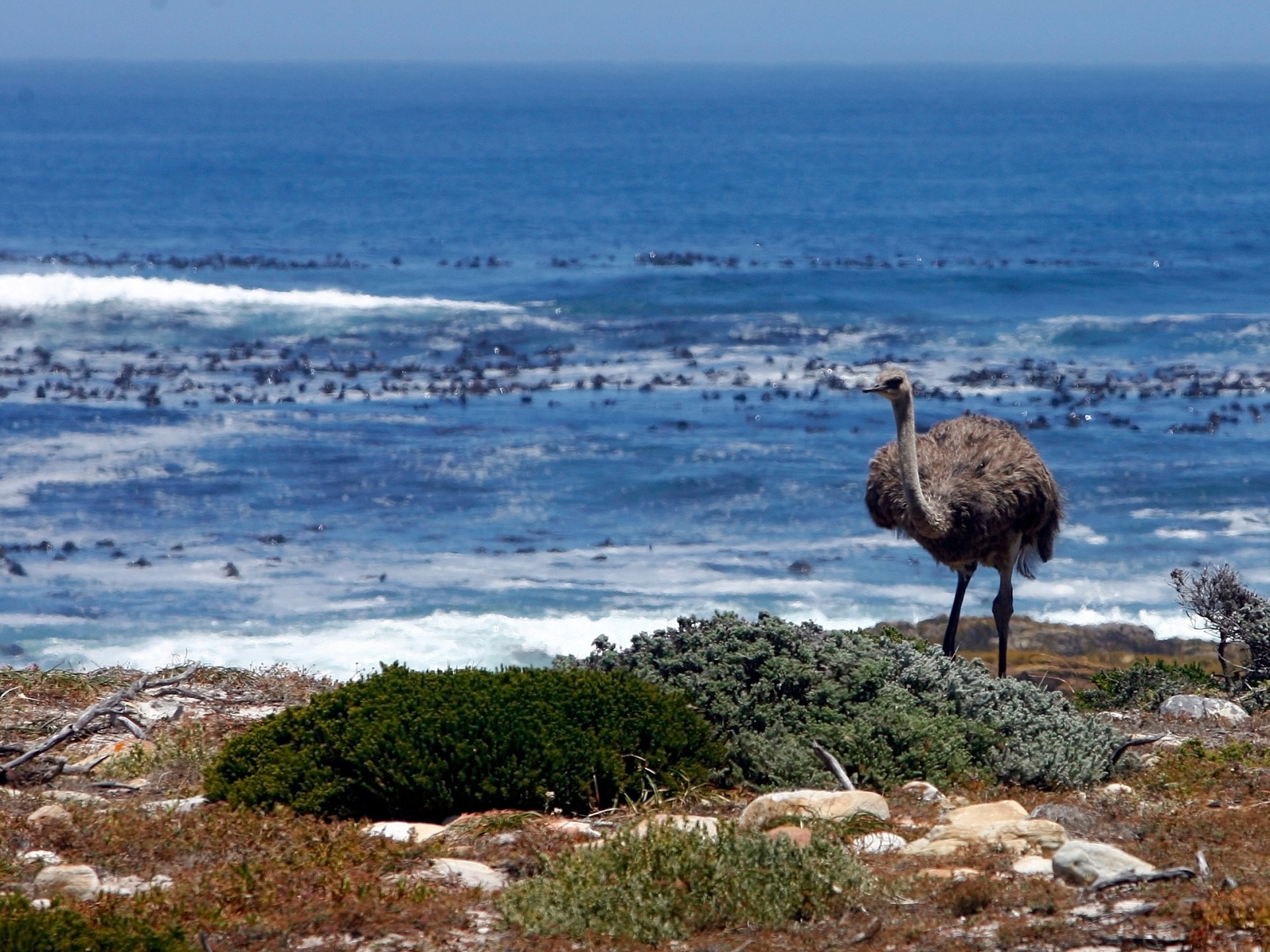
The Cape of Good Hope is a head of land extending in the Atlantic Ocean southwest of the state of South Africa. It was discovered by the Portuguese in 1498 AD, and King John II gave it this name out of joy and optimism. Commercial ships also took it to and from Asia, before a passage was dug. Suez CanalAnd sometimes because it is a commercially viable alternative.
the site
The Cape of Good Hope is located on the African continent, southwest of South Africa, 140 kilometers from the city of Cape Town. It extends into the Atlantic Ocean and connects the continents of Asia and Africa by circling the latter.
There was a mistaken belief that it was located in the far south of the African continent, separating the Atlantic and Indian oceans, but in fact it is located 150 kilometers east of the point called “Cape Agulhas.”
the date
The discovery of the Cape of Good Hope dates back to the Portuguese expansion across the world during the 15th century for religious and economic reasons, coinciding with the disengagement from Ottomans Who tightened their grip on European trade.
At first, due to their lack of information, the Portuguese relied on adventure. Between 1482 and 1484, the Portuguese explorer Diogo Cao made two unsuccessful trips to try to reach the southern tip of the west coast of Africa.
But King John II remained determined to continue his scouting efforts, so in July 1487 he commissioned Bartolomeu Diaz to lead a new expedition to search for a trade route around the southern tip of Africa, as well as to search for a legendary figure believed to have been the powerful Christian ruler of a kingdom somewhere outside… Europe perhaps in the African interior is “Prester John”.
The fleet moved from the Portuguese capital, Lisbon, via two caravelle ships with a capacity of 50 tons, a supply ship for each one, and six Africans to negotiate with the indigenous people of the African regions they arrived in. It carried a group of carved stone columns, to be used to record its movement.
On December 2, 1487, the fleet crossed the furthest point reached by “Cau” and reached “Conceiçao Bay,” called “Wolves Bay.”
The fleet advanced, veering to the southwest away from the land after making slow progress along the Namibian coast. Some historians say this deviation occurred due to storm winds, while others say it occurred because the fleet was trying to find more favorable winds, but it achieved the result for the fleet. Which they were aiming for because the ships traced a wide arc around the lower tip of South Africa.
After 30 days in the Atlantic Ocean, the fleet reached the southern tip of the continent on February 4, 1488, and the explorers entered a bay they called “São Bras,” which later became known as “Mossel Bay.”
The ships continued to sail east according to data obtained by the crew confirming that the coast was gradually tilting to the northeast, so Diaz realized that they had achieved their goal after sailing around the southern tip of Africa.
The expedition reached its furthest point on March 12, 1488, when it anchored in Kuaihoek, the Eastern Cape Province, near the mouth of the Bozemans River, where they erected stone columns carved with the name São Gregorio.
However, supplies decreased after that, and the ships were damaged as a result of the storms they were exposed to, so the crew asked Diaz to return to Lisbon to explain to King John II how to reach this point where the ships turned around Africa, which made them move with the African continent west of the sea after they had been moving. The continent is east of the sea.
On their return voyage, the explorers sailed near the southwest coast of Africa, encountering the Cape of Good Hope for the first time in May 1488.
But political circumstances prevented sending other expeditions to complete what Diaz’s fleet had achieved, and in 1497 Spain, which was Portugal’s traditional rival at the time, tried to reach India via the west, because the Portuguese had controlled the eastern route to it.
To stop them, the Portuguese King Emmanuel II sent a large expedition led by Vasco da Gama in 1498 with the aim of circumnavigating the Cape of Good Hope to reach India. Six months after sailing, the expedition crossed the Cape of Good Hope and reached the shores of Mozambique on the eastern coast of Africa, then stopped. Because the Arabs had a monopoly on this area and no one else knew the way to India.
The Arab sailor Ibn Majid volunteered to deliver the expedition from the eastern coast of Africa to India, after Vasco de Gama convinced him that their goal was purely geographical, so the expedition arrived under his leadership in 1499 and penetrated the nearby coast.
In 1500, Portugal sent its armies to control the entire eastern coast of Africa, the southern coast of the Arabian Peninsula, the western coast of India, and the Arabian Gulf.
It is noteworthy that Diaz named the road “Cape of Storms” because of the harsh sea conditions and stormy weather there. But the Portuguese King John II later changed the name to the current name, “Cape of Good Hope,” in honor of and out of optimism for this geographical region, and the great wealth that his country gained from the commercial opportunities generated by this geographical location.
The Cape of Good Hope changed the movement of navigation and facilitated the arrival of goods without being damaged at sea. It also formed a resting point for commercial ships coming from Europe to its colonies in Asia and Africa.
The discovery of the Cape of Good Hope also contributed to the weakening of the Mamluk state in Egypt militarily and economically, because it diverted global trade traffic to it instead of passing through the Egyptian coasts. The Republic of Venice – which did not want to have a strong commercial competitor in Europe – sent its delegations to build an alliance to confront the Portuguese presence.
Indeed, an alliance was formed that included the Mamluks, the Venetians, and the Ottoman Empire, but the Mamluks were defeated in several battles, the most recent of which was the Battle of Diu, which represented a blow to international trade in the Arab Levant, and the Mamluks lost their monopoly on international trade routes, which made control of the trade routes shift into the hands of the Portuguese.
Economic impact
The shift of world trade to the Cape of Good Hope at the end of the 15th century and the beginning of the 16th century led to clear changes in the economic reality at that time in favor of the Portuguese.
It is characterized by a number of features, the most important of which is its low cost. However, since the late 16th century, it has caused the loss of thousands of sailors’ lives due to winter storms and torrential currents. Some have called it the “ship graveyard.” Despite this, it is considered the first alternative to the Suez Canal passage if security conditions occur or when it decreases. Oil prices globally.


