Palisades Fire update: Severe weather on the way
The National Weather Service predicts northeast winds 20 to 30 mph with gusts up to 50 mph. Emergency services workers are preparing for any wind-related fires or disasters.
LOS ANGELES – As Los Angeles County residents are in the process of rebuilding after being hit by last week’s horrific series of fires, yet another round of strong winds is heading into Southern California.
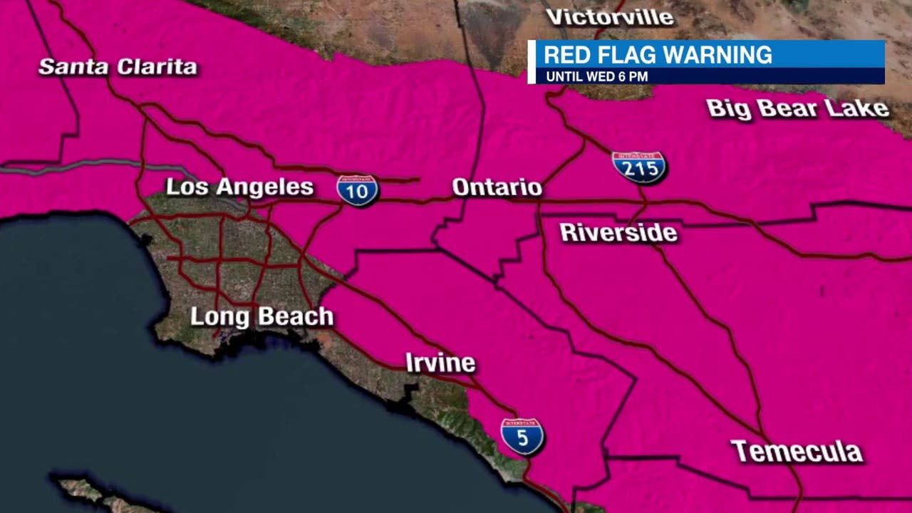
This week, the Santa Ana winds are expected to hit the region, possibly sparking more fires in Los Angeles, Orange, Riverside, San Bernardino and/or Ventura counties. The National Weather Service declared a rare PDS, or “particularly dangerous situation,” red flag warning for the Los Angeles area ahead of this week.
The warning will be in effect on Tuesday, January 14 at 4 a.m. and is projected to expire at noon, Wednesday, January 15.
Below is a timeline of what to expect and when winds will peak:
TUESDAY, JANUARY 14
- 4 a.m.: Peak conditions begin: Large area north of Los Angeles switches to a “particularly dangerous situation” red flag warning and high wind warning.
WEDNESDAY, JANUARY 15
- 4 a.m. the previous day (Jan. 14) until noon (Jan. 15): Consistent strong winds. Wind advisory areas could see northeast wind gusts up to 50 mph. High wind warning areas could see northeast wind gusts up to 60-70 mph.
- After 12 p.m.: Peak conditions will start to taper off. “Particularly dangerous situation” red flag warning and high wind warning are all expected to be downgraded.
- 6 p.m.: Additional decline expected. Red flag warnings and wind advisories are all expected to end.
A “particularly dangerous situation” warning, or PDS, is rare and reserved for the most extreme events, though this is the fourth time it’s been issued this fire season.
What is a red flag warning?
Similar to the fire weather watch, the red flag warning kicks in when meteorologists and forecasters believe conditions could lead to extreme fire within 24 hours.
PREVIOUS COVERAGE: Fire weather watch vs. red flag warning: What is the difference?


