Mid-January marks the halfway point of meteorological winter, which runs from December to February. How has this winter been so far for West Michigan?
MICHIGAN, USA — Believe it or not, we are already halfway through meteorological winter.
Meteorologists separate the seasons into equal lengths of three months, each beginning at the start of the month so it is easier to track weather and climate data.
Meteorological winter begins December 1st and runs until February 28/29th.
That means we are just about halfway done with winter—that is, if you prefer the meteorological seasons.
This winter so far has been a pretty typical one in West Michigan.
December had frequent rounds of cold and lake-effect snow, but each were followed by a brief thaw which melted any of the snowpack.
January so far has been consistently cold with frequent bursts of snow, which has helped businesses that rely on winter weather to operate.
One thing that has been lacking this winter though is system snow. A majority of our snowfall this winter has been in the form of lake-effect snow.
As the lakes remain warm, any sort of arctic air that moves into the Great Lakes has provided a decent round of lake-effect snow activity.
Snow
Snow for the most part has been right around average for West Michigan.
Grand Rapids has seen more snow than Muskegon so far, but not by much.
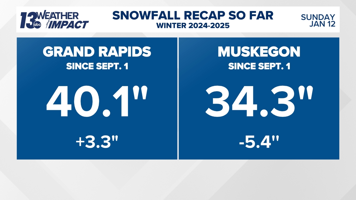
Grand Rapids has seen 40.1″ of snow through January 12th, which is 3.3″ more than average.
Muskegon has seen 34.3″ of snow through January 12th, which is 5.4″ below average.

A majority of this snow has been in the form of lake-effect, so it has generally been very light and fluffy.
If we look at the past five years since the winter of 2020-2021, this winter comes in second place for the most snow through this date.
The winter of 2022-2023 had an impressive 68.2″ of snow by this date, but that is largely due to the Christmas Blizzard of 2022 and the snowy December we saw that year.
Meanwhile, 2020-2021 only saw 7.5″ of snow through today’s date—much different than two years later.

Temperatures
This winter as a whole has been right on par with average temperature-wise, if not slightly cooler than usual.
For Grand Rapids, December was just slightly warmer than average by 0.9 degrees.
We saw an average temperature of 31.3 degrees.
January so far has been a different story. Consistent cold air has allowed for colder than average temperatures to develop.
The average temperature so far this month has been 23.1 degrees. This is 2.7 degrees colder than average.
This colder than average pattern likely continues for much of the month.

In Muskegon, temperatures have been slightly warmer due to very warm water temperatures.
The close proximity to a warmer than usual Lake Michigan means Muskegon saw a warmer than average December than Grand Rapids.
December was 2 degrees warmer than average for Muskegon, with an average temperature of 33.9 degrees.
January so far in Muskegon has been colder than usual like Grand Rapids, just not as anomalously cold.
In Muskegon, the average temperature has been 26.6 degrees which is 1 degree colder than average so far.

The coldest air of the winter season so far is set to arrive early next week.
Highs could be in the single digits, which will make January even colder than usual.
Stay with the 13 Weather Impact Team for the latest on the snow and cold.


